

Big news in ag tech: John Deere has officially acquired Sentera, a top-tier provider of drone imagery and data solutions for agriculture. Based in St. Paul, Minnesota, Sentera brings cutting-edge remote sensing technology to the table—technology that’s about to take John Deere’s digital farming capabilities to the next level.
This move is all about empowering farmers and ag service providers with smarter, faster, and more precise tools to boost productivity, reduce waste, and support sustainable farming.
“We’re thrilled to welcome the Sentera team to John Deere,” said Chris Winkler, Director of Digital Software and Solutions. “By combining their imagery tech with our John Deere Operations Center™, we’re giving farmers the power to turn real-time field data into real-world decisions all season long.”
A New Era of Smart Scouting
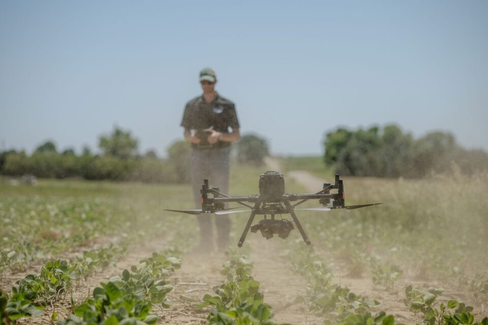
Sentera is known for its high-resolution cameras and drone-compatible tools that help growers quickly scan their fields and detect issues early—like weed growth, pest pressure, and plant health concerns. Their FieldAgent™ software translates drone imagery into actionable insights that farmers and agronomists can use to optimize their management decisions.
One standout innovation? SMARTSCRIPT™ Weeds—a precision herbicide application tool. Drones fly over fields, capture detailed images, and generate weed maps. These maps then create ultra-specific prescriptions for spraying, adjusting the amount of product needed per nozzle, cutting down on waste and saving costs.
With the integration into the John Deere Operations Center, these prescriptions can be sent wirelessly to compatible sprayers—no USB drives, no hassle.
More Than Just Weed Maps
The tech goes far beyond weeds. Sentera’s system can also assess:
- Crop stand uniformity
- Disease outbreaks
- Insect infestations
- Field stress levels
All of this data feeds into smarter decisions at the field level, helping farmers respond faster and with greater precision—no matter where they are on their tech adoption journey.
“This is a game-changer for us,” said Nick Einck, Director of Agronomy at Chandler Coop in Minnesota. “With Sentera, we gather more detailed data across more acres. When paired with John Deere’s tools, we’re working faster and smarter, and delivering better results for our customers.”
What This Means for the Future
Sentera isn’t going anywhere—they’ll continue supplying cameras to drone manufacturers and selling to farmers, agronomists, and retailers. And importantly, the John Deere Operations Center will remain open to other drone imagery providers. That means users can continue to choose the solutions that best fit their operations.
“John Deere is the perfect home for us,” said Sentera CEO Brian Wenngatz. “We both believe in building trust through measurable results and scalable tools. Together, we’ll help more farmers unlock more value from their fields.”
With this acquisition, John Deere reinforces its leadership in precision agriculture—delivering smarter tools to today’s farmers and shaping the future of farming from the sky down.